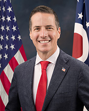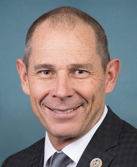
Kelly, Curtis Introduce Bipartisan Bill to Modernize Rural Road Mapping, Improve Public Safety
Read in the Kingman Miner : New bipartisan bill looks to improve rural navigation abilities Senators Mark Kelly (D-AZ) and John Curtis (R-UT) introduced the Modernizing Access to Public Roads (MAP Roads) Act , bipartisan legislation to help state and counties digitize local road networks, improve navigation, strengthen emergency response, and support rural commerce. “Arizona has millions of acres of public land, but outdated paper maps make it harder and less safe to navigate them,” said Kelly. “Arizonans rely on accurate road data every day, whether they’re traveling, running a business, or accessing essential services. Visitors also depend on it to safely explore our incredible public lands. This bipartisan bill brings these records into the 21st century, improving safety, access, and navigation for everyone.” “Too many county road maps still exist only on paper or in outdated systems. That creates unnecessary challenges for first responders, businesses, and families who rely on accurate navigation every day,” said Curtis. “The MAP Roads Act modernizes local infrastructure, giving rural Utahns and recreationists the tools they need to improve public safety and support economic growth.” “The lack of publicly accessible and accurate county road map information is a key barrier for hunters and anglers trying to access public lands,” said Joel Webster, Chief Conservation Officer, Theodore Roosevelt Conservation Partnership. “The bipartisan, bicameral MAP Roads Act will provide resources to address these mapping shortfalls and improve public access, resulting in reduced confusion for hunters and anglers trying to navigate rural road systems across America. TRCP applauds Senator Curtis and Senator Kelly for their leadership on this bill.” “Access is essential to conserving our hunting traditions and connecting people with the upland habitats that make those traditions possible,” said Ariel Wiegard, Vice President of Government Relations, Pheasants Forever and Quail Forever. “The bipartisan MAP Roads Act will modernize county road records, giving hunters greater confidence as they access public lands while reducing confusion and inadvertent trespass. We thank the Senate sponsors for advancing this commonsense, bipartisan solution that benefits hunters, conservation, and rural communities.” “Accurate and accessible maps are fundamental to ensuring Americans can safely and confidently access our public lands and waters,” said Kaden McArthur, Congressional Affairs Director, Trout Unlimited. “We thank Senators Curtis and Kelly for their leadership on the MAP Roads Act, which will modernize outdated public road information and make it easier for anglers and other outdoor recreators to find reliable, legal access to rivers, streams, and other public destinations. By improving the accuracy and availability of these maps, this bipartisan legislation will help people spend less time navigating road systems and more time enjoying the outdoors.” Companion legislation was introduced in the House by Representatives Blake Moore (R-UT-01), Val Hoyle (D-OR-04), Jeff Hurd (R-CO-03), and Susie Lee (D-NV-03). Background: The bill establishes a competitive grant pilot program at the U.S. Department of Transportation to help counties convert outdated paper maps and records into standardized digital geospatial data. States would maintain publicly accessible road repositories that are compatible with modern GPS and mapping platforms and regularly updated. The legislation authorizes $20 million annually through Fiscal Year 2031 for the pilot program, with participating states reporting on implementation and progress to help evaluate future expansion. Specifically, the MAP Roads Act would: Establish a Department of Transportation pilot grant program to help states digitize county road data; Provide subgrants for counties to convert paper maps and outdated records into standardized geospatial datasets; Create statewide, publicly accessible road repositories that distinguish public and private roads and integrate with third-party mapping platforms; Improve navigation, emergency response, and rural commerce through more accurate and accessible road information; and Preserve existing state and local authority over road ownership, jurisdiction, and public access while protecting sensitive archaeological and historic resource data. Click here to read the full text of the bill.
6e6057d3-0cf8-449f-9a51-2e86c1b40e49Issued within 24 hours
Other senators' releases published in the day before or after this one.